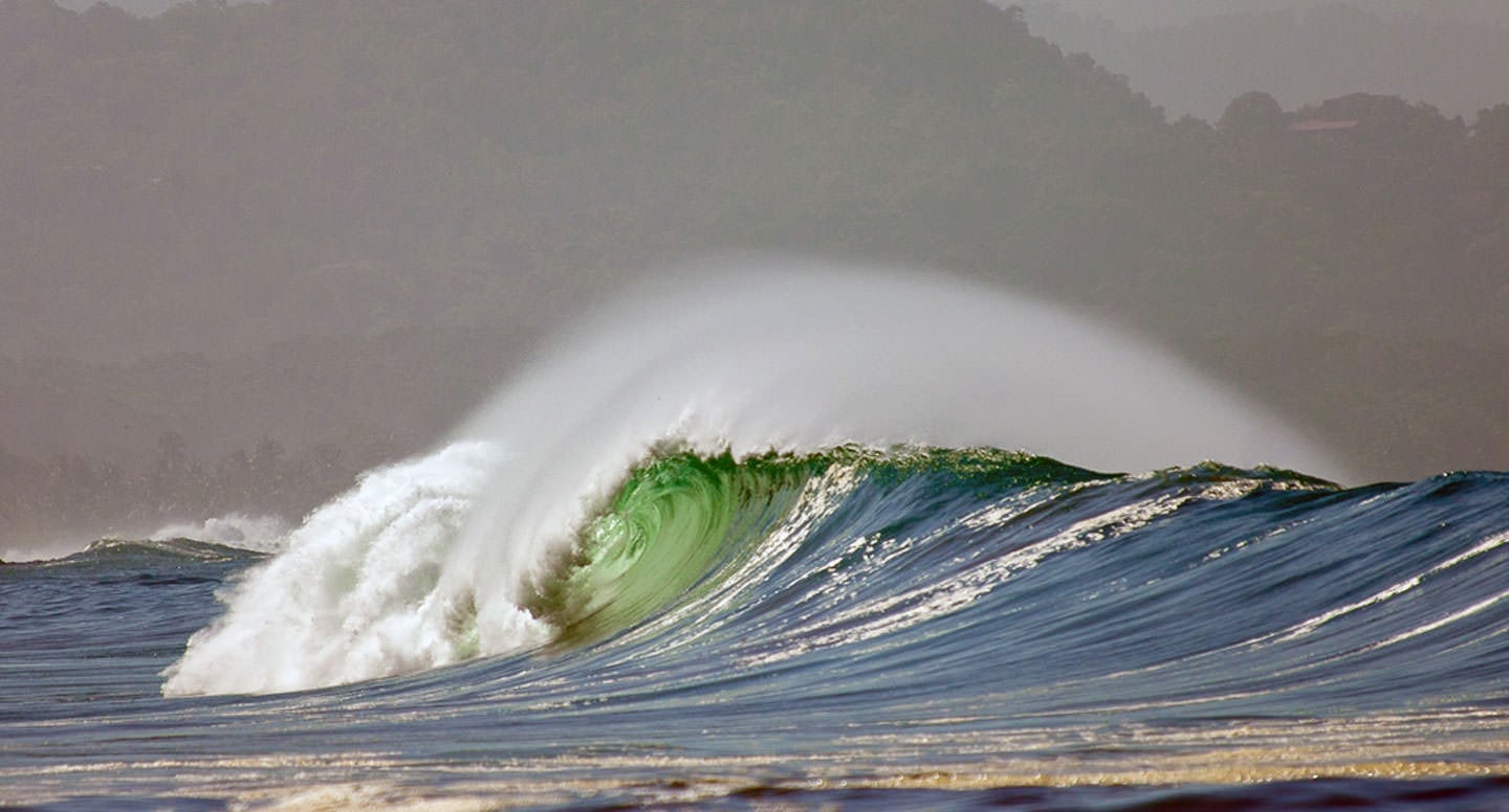
This past week the entire west coast of Costa Rica (and Central America) was slammed by a massive “Southern Hemi”. That’s surf speak indicating a swell born on the poles and charging up from the Southern Hemisphere. In this era of technological advancements and wizardry, these swells are now predicted well in advance of the event, and delivered to the world via numerous websites. Now any of you fellow baby-boomer surfers out there can remember a time when getting a surf report meant driving to the beach and looking at the ocean to see how the waves were. Surfers by nature become armchair meteorologists, tuning into wind directions, tides, seasons, and the like. The phenomenon of computer model forecasting has only been around for a decade or so. This issue of Inside Peak will focus on some of the basics of modern day surf forecasting, including the monster swell we had last week.
What Makes Waves?
Waves are created as wind blows over the ocean, transferring its energy into the water. The size of the swell is affected by three variables: the velocity of the wind, its duration, and its fetch (distance the wind blows in a specific direction). There are two different types of swells that influence the surfing conditions.
- Groundswell- waves that are generated a long distance away, far off the coast. This can be thousands of miles!
- Wind Swell – waves that are formed from local winds.
In general groundswells produce better surfing conditions. Wind swells are usually smaller, choppy, and more of a challenge to surf. Although both types of swells are normal at most surf spots, groundswells create more powerful, lined up surf. Groundswells will tend to dominate, reducing the influence of local wind waves. This occurs because groundswells originate far from the shore and have more time to organized and groomed.
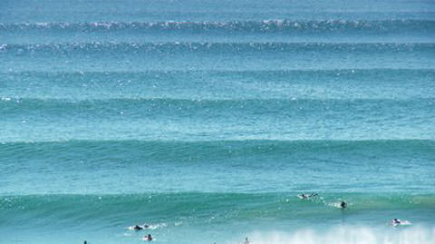
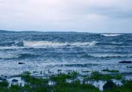
Ground Swell Wind Swell
Swell Data
In order to forecast surf conditions important data needs to be analyzed:
- Swell Height – the height of the swell in deep water.
- Swell Direction – the direction from which the swell is coming, measured in degrees.
- Swell Period – the swell period is a measurement of the time between successive waves in seconds. Waves travel in groups (called sets when they approach shore, as in “Big Set Outside”! In general waves will be referred to as either short period or long period. A long period indicates a wave born on a storm far out to sea making its way to shore. As waves travel they pick up velocity and amplitude. If there is a swell of significant height and swell period heading your way, you are probably in for good surf.
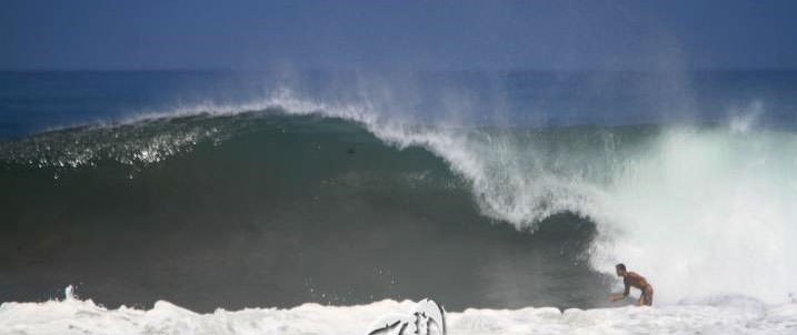
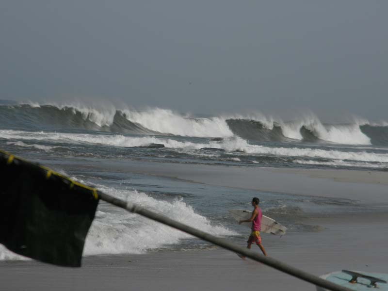
Our swell last week was forecast to be 6 feet of deep water swell with a period of 25 seconds. This would indicate a gigante swell. As these waves reach shallow reef or sand they stand up and heave, throwing out huge caverns of Pacific Ocean energy. Interesting to note is that a 6 foot deep water swell at 25 seconds is capable of generating breaking waves with faces up to 20 feet!
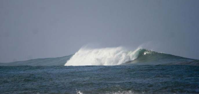
Big swells can light up offshore spots that are dormant under normal surf conditions
Bathymetry
Bathymetry is the study of the depth of the Ocean floor. Its land based equivalent is topography. Waves will always turn and refract towards shallower water and meets a variety of surfaces; sand, reef, piers, jetties, etc. The shape of the ocean floor greatly affects a wave’s mood, shape, and size. A gradual sloping ocean floor like we have here in Guiones generally results in a slower crumbling wave, great for learning how to surf. However with a swell the size of last week’s event, the whole ocean can come crashing down on you all at once. There are many more factors including land contours, tides, local winds, etc. I don’t want to get anymore technical here than this, but I think this gives you a good idea on wave formation.
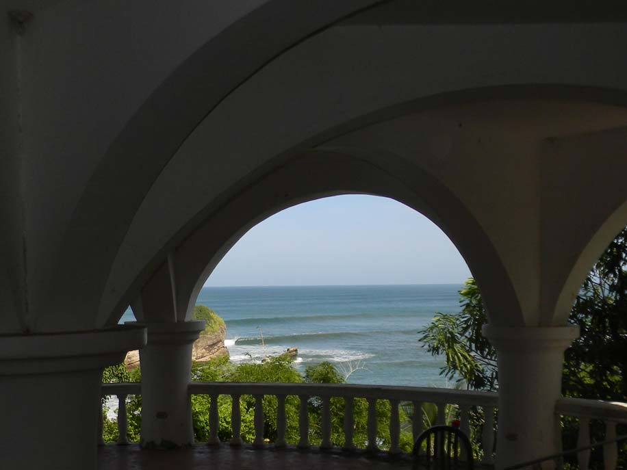
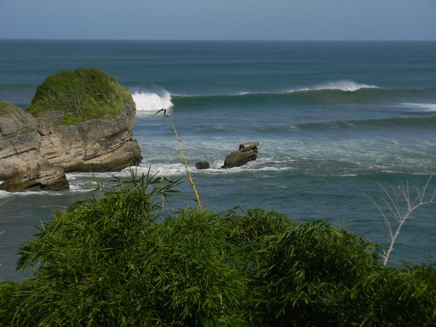
Perfection through the arches of Hotel Nosara
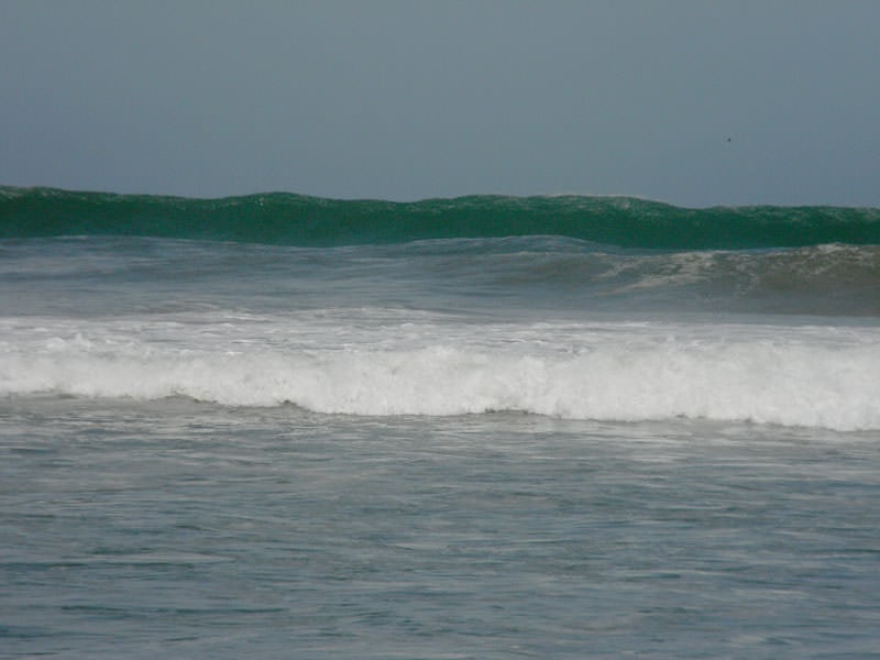
Rumbling giant heading for the impact zone
Surf Forecasting Websites
There are numerous websites that offer wave forecasts, many with a great degree of detail, photos, and weather charts.
For Nosara my favorite is: http://www.globalsurfreports.com/p/central-america.html
Many of the local like this one: http://www.magicseaweed.com/Nosara-Surf-Report/445/
The original pioneer: http://www.surfline.com
Pavones
In Southern Costa Rica, pavones is one of the true wonders of the surfing world. Pavones focuses Southern Hemisphere energy into perfect peeling freight train lefthanders that wrap into the Golfo Dulces many perfect points. It is said to handle waves up to twenty feet!
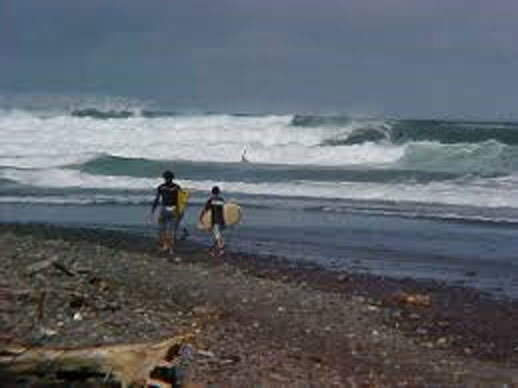
Sequence: local womens legend JESSIE on the wave of the day!
[soliloquy id=”4170″]
Cover Shot
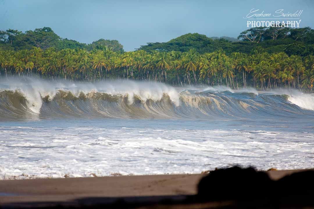
The breathtaking lead photo was taken by local master photographer Graham Swindell.
Graham hosts a popular website called Nosara Shack. Graham focuses on surfing as an artistic expression, which you can see in his brilliant compositions. He and surf buddy Scott McDowell set off on a reconnaissance mission to witness how this monster swell behaved at the multitude of coastal nooks and crannies to our south. Check it out at:
http://www.nosarashack.com/wavehunt-during-a-massive-south/


