Have you ever looked at the surf forecast that you thought was favorable, grabbed your board, and raced to the beach only to find onshore slop? Surf forecasting isn’t the guessing game it was decades ago before the likes of Surfline and live stream beach cameras, but it still takes a well-trained eye to make sense of the data you’re presented in a typical forecast. Whether you’re looking at the surf forecast of your next surf trip destination or your local beach break, it pays to know how to decipher the science behind the forecast. To learn the basics of surf forecasting, continue reading below for Surf Forecasting 101: How to Know When to Go.
The Many Components of Surf Forecasting
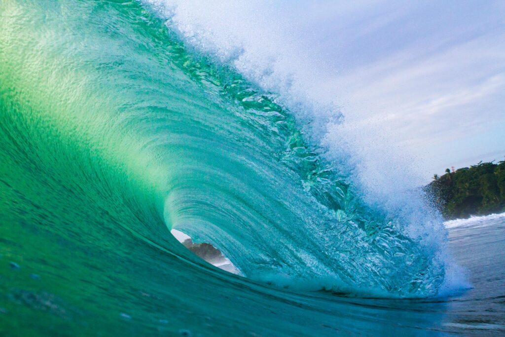
Whether you use Surfline or one of the many other surf forecasting providers, you’re likely looking at some combination of the same forecasted data either taken from government weather data or calculated from that weather data. A typical surf forecast will display surf height, swell height, swell direction, wind spend, and wind direction, along with primary, secondary, and tertiary swell info. While all that information can be overwhelming, once you know what to look for, it will help you understand your home break on a whole new level.
Surf Height
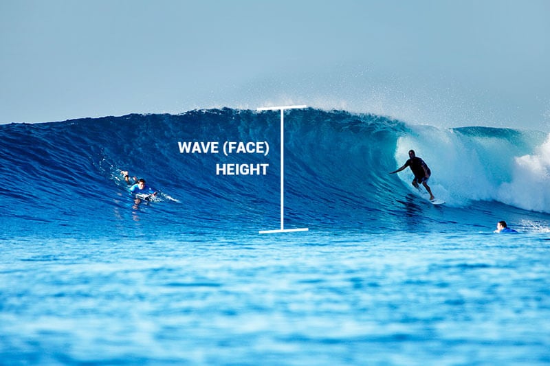
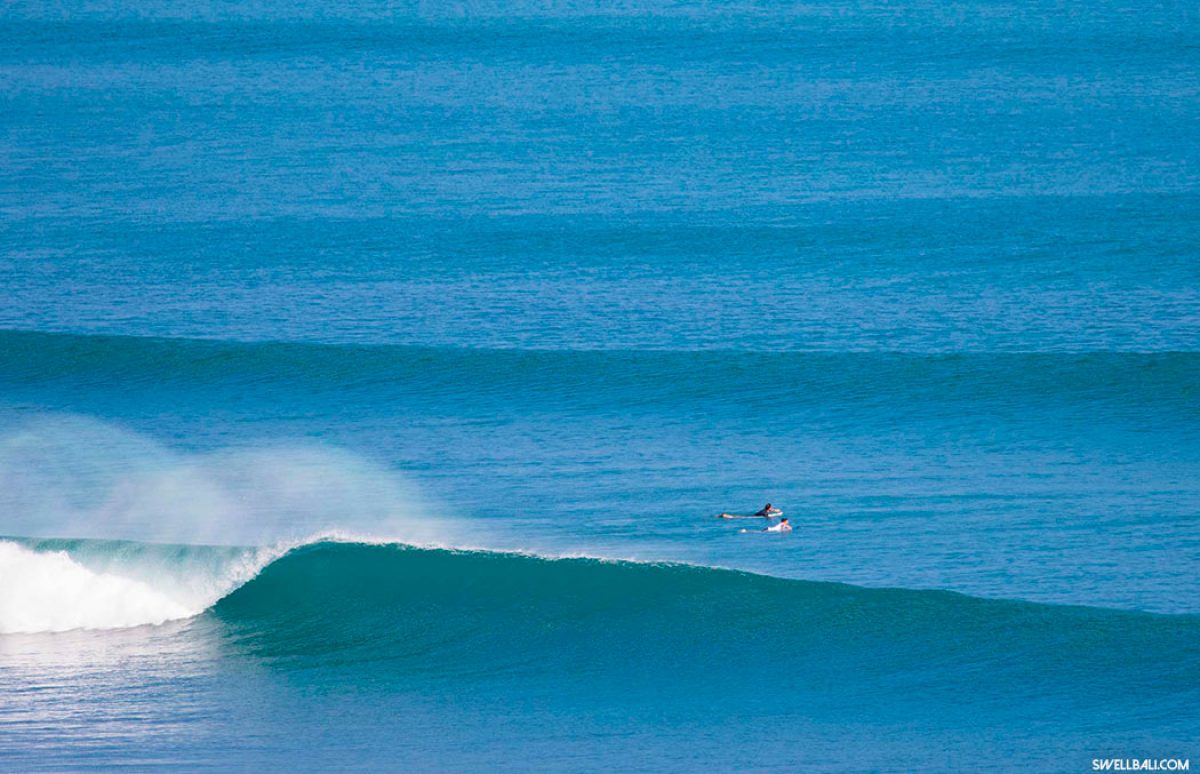
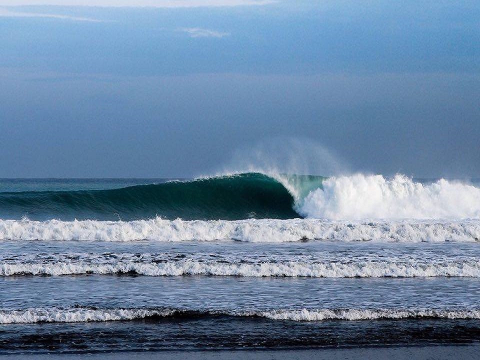
Surf height is an approximate measurement of the face of the wave. Surf height differs from While surf height may seem subjective, depending on where you’re traveling. A two-foot wave in Hawaii and a two-foot wave in California are drastically different. For the sake of surf forecasting, however, surf height is an objective measurement of the wave’s face from the top of the cresting lip to the trough of the wave.
Wind (Direction & Speed)
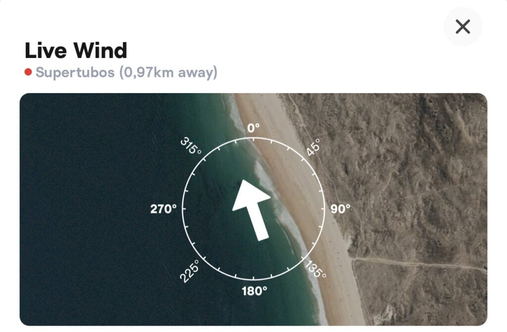
Besides, swell height, wind direction, and wind speed are two of the most critical variables in surf forecasting. Ideal winds for surfing are gentle, between 0 and 5 kts, and blowing directly offshore. Surf forecasting platforms present both the wind direction and the speed, which can give surfers insight into the wave’s current and future conditions. If you’re surfing the west-facing Playa Guiones in Nosara, a gentle east wind is preferred. If you’re surfing a sheltered cove or a jetty break where a landmass blocks the wind from one direction, you may be able to find clean waves with a cross or even onshore wind.
Swell Size, Interval, & Direction
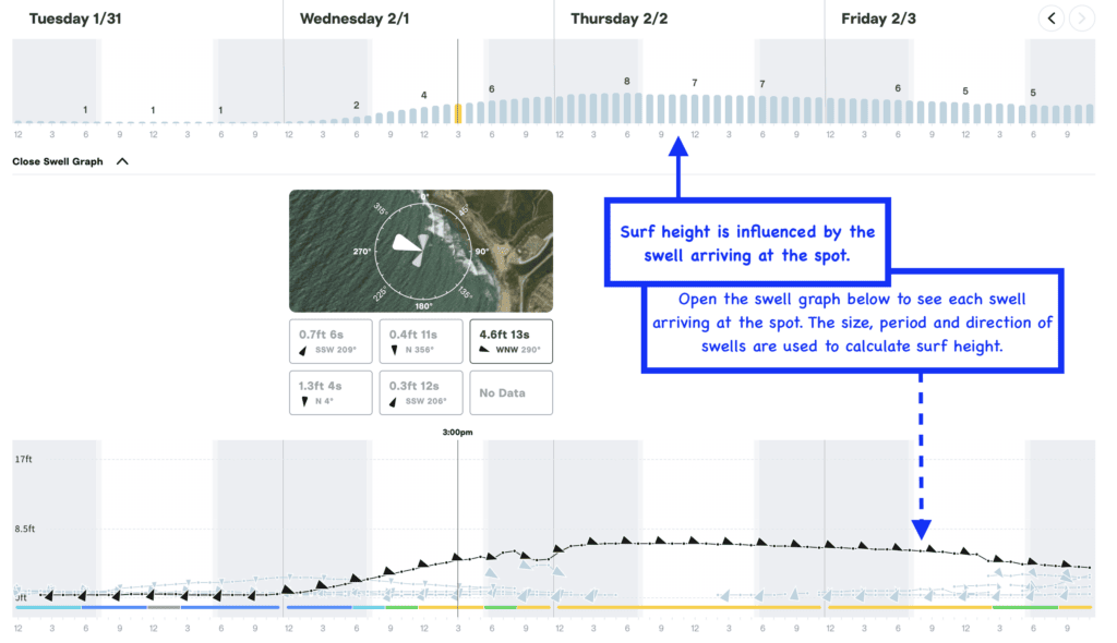
To create the surf height metric, forecasters use a combination of the swell size, swell interval, and swell direction data points. The swell height is the measurement of an open ocean swell from the crest to the trough. The Swell interval is the distance between two swells and is given in seconds. The swell direction, given in North, South, East, West, or a combination of directions, tells surfers which direction the swell is traveling from. Surfers generally seek out solid-sized waves with longer intervals. The longer the interval, the bigger the surf. For example, a 2-foot swell at an 18-second interval at Playa Guiones will produce overhead surf. Where a 2-foot swell at 9 seconds could be barely chest height. The longer the interval, the more powerful the swell, and the more time the swell has to build in size. Each break has a forecast that brings it to life in its best form. A combination of the perfect swell direction, an ideal interval, and a swell height that’s just right will create perfectly sculpted waves without a drop of water out of place. Learning to read a surf forecast and knowing a spot’s preferred conditions takes an enormous amount of time and effort, but it pays off dividends when you score the waves of your life at your favorite break.
Take the guesswork out of surf travel by booking a trip to Safari Surf School in Nosta, Costa Rica, Playa Venao, Panama, or Ayampe, Ecuador. With friendly instructors, world-class waves, and accommodation for any budget, a trip with Safari Surf is the ultimate form of surf travel. Head to our website to book today!

