Inside Peak – Little Summer

EL VERANILLO de SAN JUAN

“Little Summer”
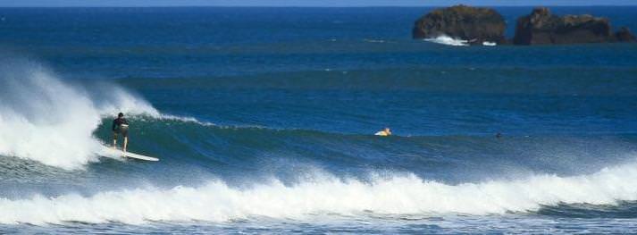
image00
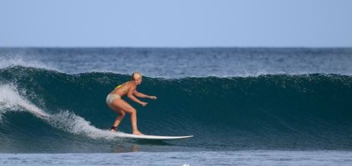
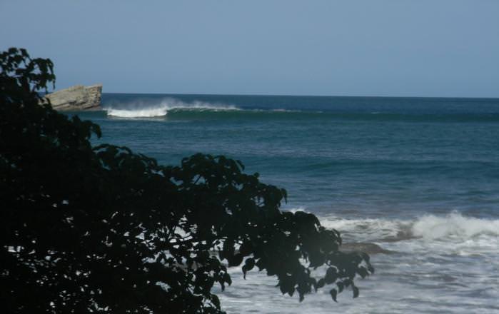
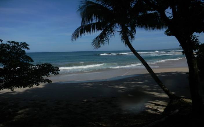
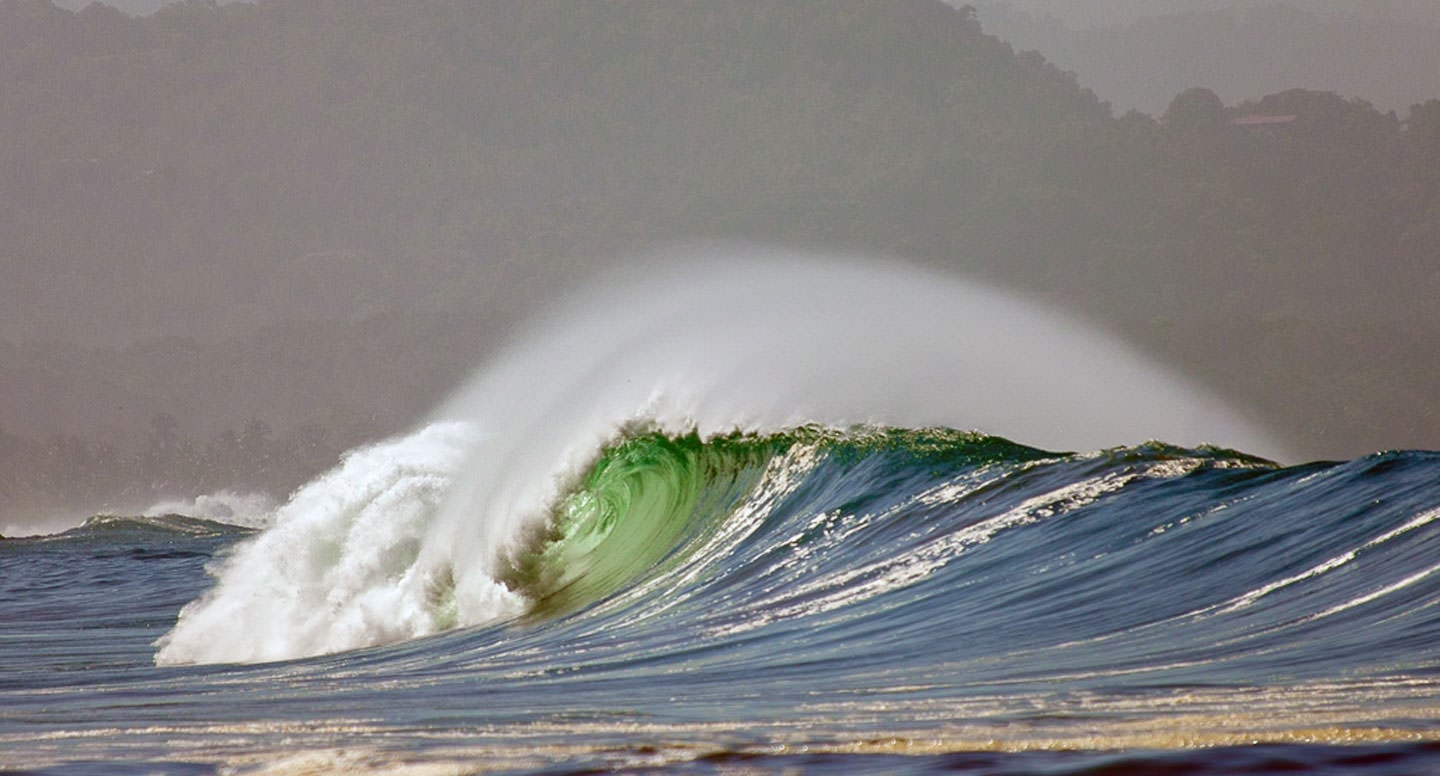
We have been experiencing a long stretch of beautiful dry sunny weather and all day offshore winds this month, more so than in past years. The locals refer to these dry spells as the “veranillo”, which means ‘little summer’. I have read in various guide books that the actual name of this phenomenon is ‘El Veranillo de San Juan’. Being a surfer/ armchair meteorologist (and also the son of a real life one), I like to probe a little deeper into these things and learn a little more about what makes this place tick. I never did find out who San Juan is/was and what he has to do with this weather trend, but I reckon surfers owe him a debt of gratitude for these awesome off-season surfing conditions.

image01
image11

El Niño
Most likely we all have heard by now that scientists are confirming that another El Niño is developing. El Niño means The Little Boy, or Christ Child in Spanish. El Niño was originally recognized by fishermen off the coast of South America in the 1600s, with the appearance of unusually warm water in the Pacific Ocean. The name was chosen based on the time of year (around December, i.e. The Christ Child) during which these warm water events tended to occur. The term El Niño refers to the large-scale ocean-atmosphere climate interaction linked to a periodic warming in sea surface temperatures across the central and east-central Equatorial Pacific. Typical El Niño effects are likely to develop over North America during the upcoming winter season. Those include warmer-than-average temperatures over western and central Canada, and over the western and northern United States. Wetter-than-average conditions are likely over portions of the U.S. Gulf Coast and Florida, while drier-than-average conditions can be expected in the Ohio Valley and the Pacific Northwest. For Costa Rica the implications point to a dry rainy season.
image12
          El Niño: warmer than average waters in the Eastern equatorial Pacific ( in orange, affects weather around the world.
The real concern in Central America of course is severe drought and water shortages. For surfers lucky enough to be here, it all feels like a tropical fantasy.
image13 Another interesting factor contributing to these little summer periods is the Intertropical Convergence Zone (ITCZ), a large band of clouds, usually thunderstorms, that circle the globe near the equator. Its location is affected by many things, most noteably landmasses and ocean currents. A deflection of the ITCZ northward past Costa Rica in July enhances the creation of offshore wind and dry weather.
Disclaimer: the world’s weather is changing. As much as we try to understand it all scientifically don’t be surprised when another weather surprise springs up – like last night, in the midst of a seven day dry spell the thunderstorm from hell dropped six inches of rain in one hour!  As Saturday Night Lives’ residence weather man Father Guido Sarducci proclaimed: “It all depends on the weather”.
Enough science! Now the photos tell the story…
 El Veranillo – the Goods and Bads

image14
image15
image16

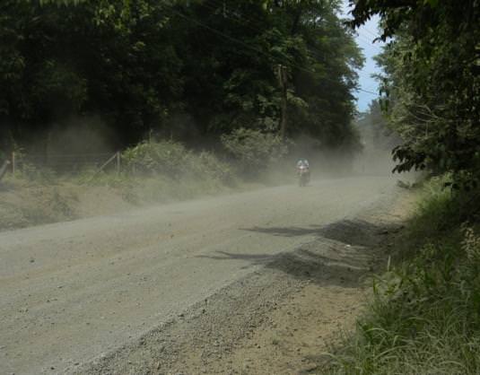
MUCHO POLVO – DUST!

image17
image18

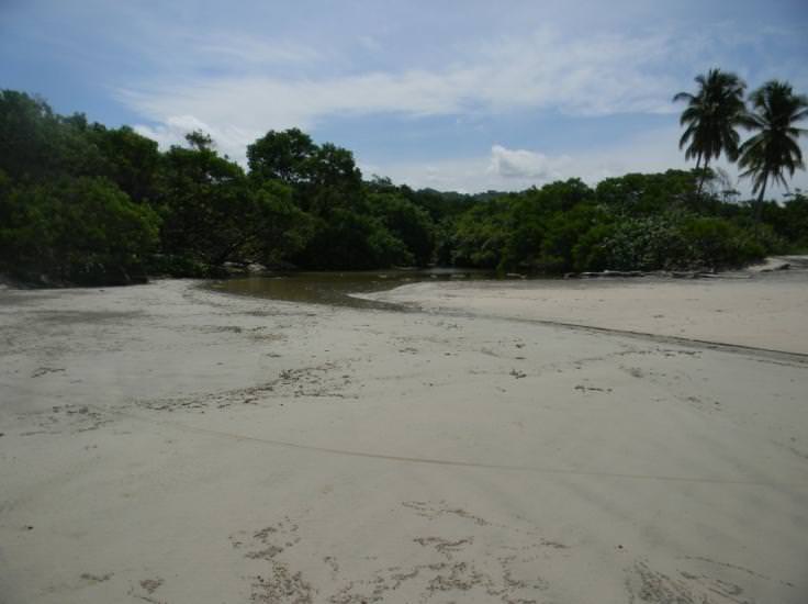
Dry river mouths = new sandbar formation and pristine beaches
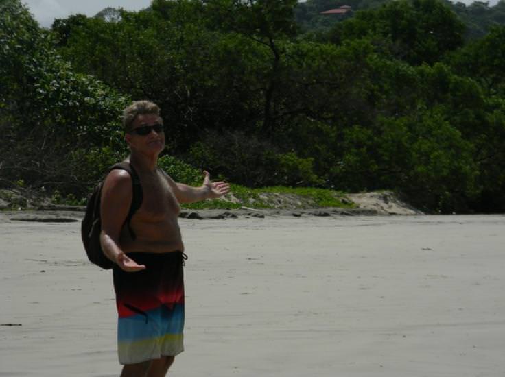
image02
image03

Sand Factory
image04
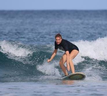
Jennifer planned to stay with us  a week – it turned into a month and counting!
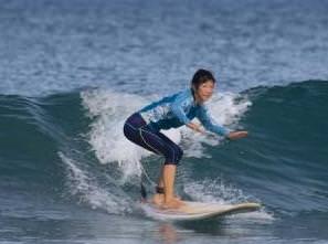
 

image05
image06
image07

Edyie                                                                                                                 Scott                                                                                                                    Anya
 

image08
image09

      Next Bay Over
image10
“It all depends on the weather”
The skies open for 6 inches of rain!

Inside Peak – Surf Forecasting

surf-forecasting-feat

surf-forecasting-feat
This past week the entire west coast of Costa Rica (and Central America) was slammed by a massive “Southern Hemi”. That’s surf speak indicating a swell born on the poles and charging up from the Southern Hemisphere. In this era of technological advancements and wizardry, these swells are now predicted well in advance of the event, and delivered to the world via numerous websites. Now any of you fellow baby-boomer surfers out there can remember a time when getting a surf report meant driving to the beach and looking at the ocean to see how the waves were. Surfers by nature become armchair meteorologists, tuning into wind directions, tides, seasons, and the like. The phenomenon of computer model forecasting has only been around for a decade or so. This issue of Inside Peak will focus on some of the basics of modern day surf forecasting, including the monster swell we had last week.

big-guione-(2)
DSCN8558

What Makes Waves?

Waves are created as wind blows over the ocean, transferring its energy into the water. The size of the swell is affected by three variables: the velocity of the wind, its duration, and its fetch (distance the wind blows in a specific direction). There are two different types of swells that influence the surfing conditions.

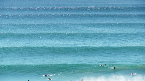
  1. Groundswell- waves that are generated a long distance away, far off the coast. This can be thousands of miles!
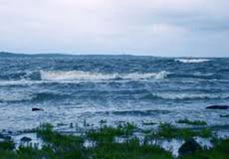
  2. Wind Swell – waves that are formed from local winds.

In general groundswells produce better surfing conditions. Wind swells are usually smaller, choppy, and more of a challenge to surf. Although both types of swells are normal at most surf spots, groundswells create more powerful, lined up surf. Groundswells will tend to dominate, reducing the influence of local wind waves. This occurs because groundswells originate far from the shore and have more time to organized and groomed.

groundswell
windswell

       Ground Swell                                                                                                                                         Wind Swell
 

Swell Data

In order to forecast surf conditions important data needs to be analyzed:

    • Swell Height – the height of the swell in deep water.
    • Swell Direction – the direction from which the swell is coming, measured in degrees.
    • Swell Period – the swell period is a measurement of the time between successive waves in seconds. Waves travel in groups (called sets when they approach shore, as in “Big Set Outside”! In general waves will be referred to as either short period or long period. A long period indicates a wave born on a storm far out to sea making its way to shore. As waves travel they pick up velocity and amplitude. If there is a swell of significant height and swell period heading your way, you are probably in for good surf.

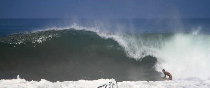
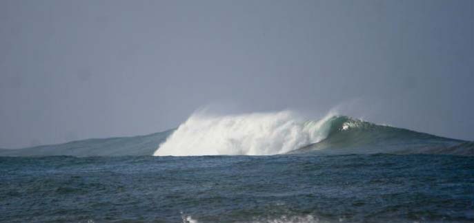
Our swell last week was forecast to be 6 feet of deep water swell with a period of 25 seconds. This would indicate a gigante swell. As these waves reach shallow reef or sand they stand up and heave, throwing out huge caverns of Pacific Ocean energy. Interesting to note is that a 6 foot deep water swell at 25 seconds is capable of generating breaking waves with faces up to 20 feet!
bombie-#2-(2)
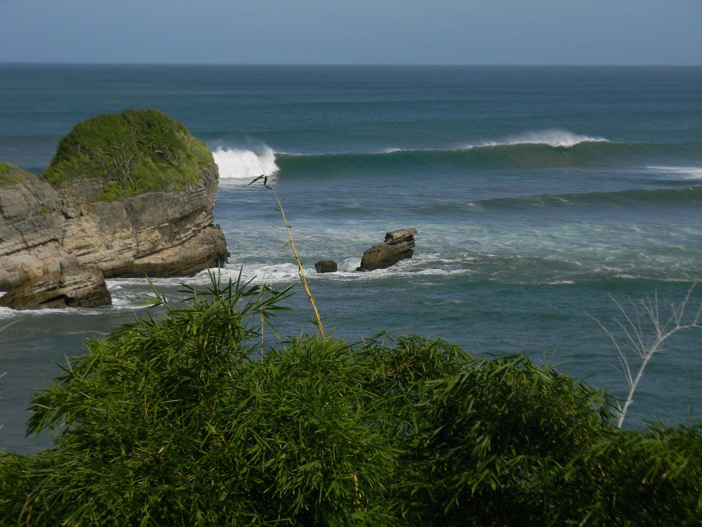
Big swells can light up offshore spots that are dormant under normal surf conditions


Bathymetry

Bathymetry is the study of the depth of the Ocean floor. Its land based equivalent is topography. Waves will always turn and refract towards shallower water and meets a variety of surfaces; sand, reef, piers, jetties, etc. The shape of the ocean floor greatly affects a wave’s mood, shape, and size. A gradual sloping ocean floor like we have here in Guiones generally results in a slower crumbling wave, great for learning how to surf. However with a swell the size of last week’s event, the whole ocean can come crashing down on you all at once. There are many more factors including land contours, tides, local winds, etc. I don’t want to get anymore technical here than this, but I think this gives you a good idea on wave formation.

DSCN8596
DSCN8601

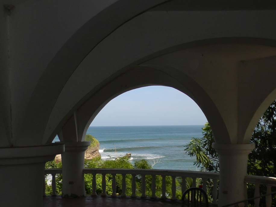
Perfection through the arches of Hotel Nosara

DSCN8632

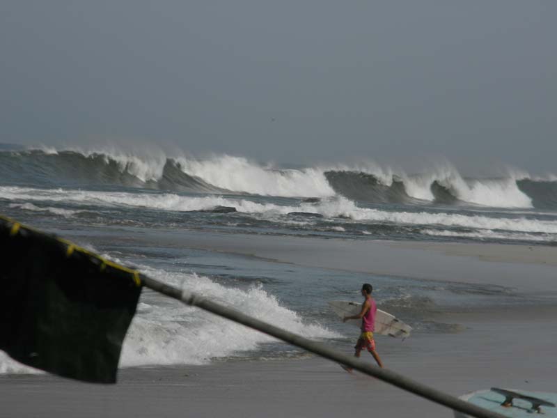
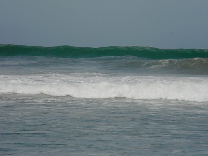
       Rumbling giant heading for the impact zone      


Surf Forecasting Websites

There are numerous websites that offer wave forecasts, many with a great degree of detail, photos, and weather charts.
For Nosara my favorite is: http://www.globalsurfreports.com/p/central-america.html
Many of the local like this one: http://www.magicseaweed.com/Nosara-Surf-Report/445/
The original pioneer: http://www.surfline.com

Pavones

In Southern Costa Rica, pavones is one of the true wonders of the surfing world. Pavones focuses Southern Hemisphere energy into perfect peeling freight train lefthanders that wrap into the Golfo Dulces many perfect points. It is said to handle waves up to twenty feet!

pavones-lines
pavones-swell

Sequence: local womens legend JESSIE on the wave of the day!
[soliloquy id=”4170″]

Cover Shot

garza
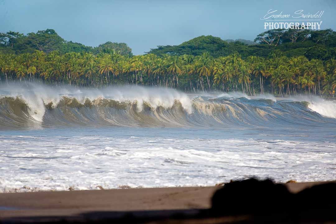
The breathtaking lead photo was taken by local master photographer Graham Swindell.
Graham hosts a popular website called Nosara Shack. Graham focuses on surfing as an artistic expression, which you can see in his brilliant compositions. He and surf buddy Scott McDowell set off on a reconnaissance mission to witness how this monster swell behaved at the multitude of coastal nooks and crannies to our south. Check it out at:
http://www.nosarashack.com/wavehunt-during-a-massive-south/

Inside Peak – Driving in Costa Rica

Road Trip!

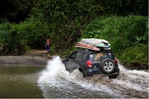
Costa Rica is a wonderful place to explore by rental car. In my early years as a travel agent for Surf Express Travel in Florida, the majority of our bookings were fly/drive packages, facilitating adventurous minded surfers to roam the country looking for perfect, uncrowded surf. Renting a car in Costa Rica has the potential to create a very unique trip for travelers. You can seek out little-known places, stop when you want, and craft your own adventure from scratch. However, driving in Costa Rica is serious. Road conditions can be difficult, signs are spotty, and driving times can be long. Before getting behind the wheel, think about what it requires and how you want your trip to unfold. Costa Rica has more than 20,000 miles of roads, yet fewer than 25% of them are paved. Many are so poorly maintained that driving on gravel surfaces is the better option. The road system infrastructure in Costa Rica is incomplete but somehow gets you there if you persevere.
car-water

City Driving

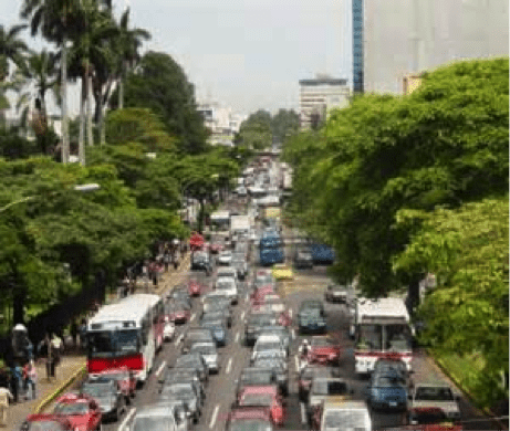
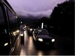
Driving in San Jose can be harrowing, especially during rush hours. Tico’s tend to drive offensively and assume they always have the right of way.  Fortunately the airport is on the outskirts of San Jose; point your car west and go prepared for anything! Road signs out of San Jose are good, but become less and less so as you get out in the country. Seat belts must be worn and are strictly enforced by the Transit Police. Always carry a copy of your passport with you. Distance and speed limits are in kilometers (1 kilometer is equivalent to 0.6214miles). Avoid night driving! As you depart the city, the scenery becomes breathtaking. Plan to have a leisurely drive and enjoy the experience. There are some great roadside restaurants, and plenty of photo opportunities along the way.

rush-hour
night-drive

Avoid rush hour!                                                                                                                                Don’t drive at night!
 

Country Driving

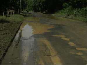
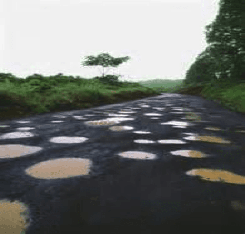
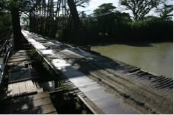
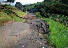
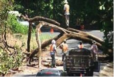
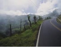
The real fun of driving is when you get out of the city and into the country. Once  of the you exit the mountains you can cruise to your beach destination. You will encounter big trucks that appear to be taking up the entire road. Pass only if you are on a clear straightaway and can see oncoming traffic. It is more likely that the trucks will pass you, on a blind curve in the fog! Two lane roads often narrow into single lanes over bridges. Some roads lack guardrails and have steep drops along either side. Rainy season driving can wreak havoc on Costa Rica’s roads – landslides, flooding, dangerous erosion, and horrendous gaping huecos (pot holes). In spite of all these hazards and deterants, driving is a great adventure and gives you a sense of achievement.

Dirt Roads

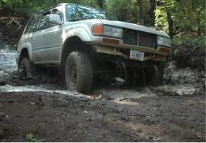
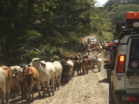
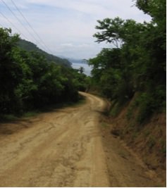
One of my favorite sayings is “Dirt Roads bring good people, paved roads bring all kinds of people”. Many great beach destinations are end of the road places. The driving is slow and sometimes sketchy with river crossings, cows and horses on the road, and unbelieveable potholes. On one of our trips we got behind a big funeral procession where  mourners  were carrying a coffin to it’s burial site. This created a huge traffic back-up, but was cool  to see.
 

grande junc
mud

                                         GRANDE JUECOS – THEY’RE EVERYWHERE!

onelanebridge
collapsed-road

            RICKETY ONE-LANE BRIDGES                                                                                                          COLLAPSED ROAD – YIKES!

treedown
mud2
mtnmist

        TREE DOWN!                                                                                                 MUD                                                                                      MOUNTAIN MIST

4wheel
true-country

4-wheel Drive Mandatory!                                                                                                                                                         True country
ferry
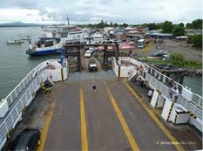
Ferry to Tambor

River Crossings

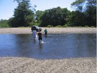
When driving in the rainy season (May to November) you will surely encounter a few rivers. Always get out of your car and walk through to the other side to test the water depth and river bottom (mud, sand, rock). Drive across slowly but with determination!
rivercrossing
Rocky Bottom and Shallow – GO!


Getting Around in Nosara

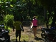
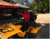
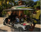
Most Safari Surf guests arrive from the airports (San Jose or Liberia) via shuttle van. Because of Nosara’s beach protection, no roads are permitted within the maritime zone. Most of the hotels are within walking distance to Safari Surf. Some folks rent golf carts and “quads” to tool around. Bicycles have become increasingly popular and there is a fully equipped bike shop on main street Guiones. It is also possible to rent a small car for use in Nosara.

walking
quad
golf-cart

Walking!                                                                                                                    Quad fun                                                                                  Golf Cart

True Story – my near disaster!

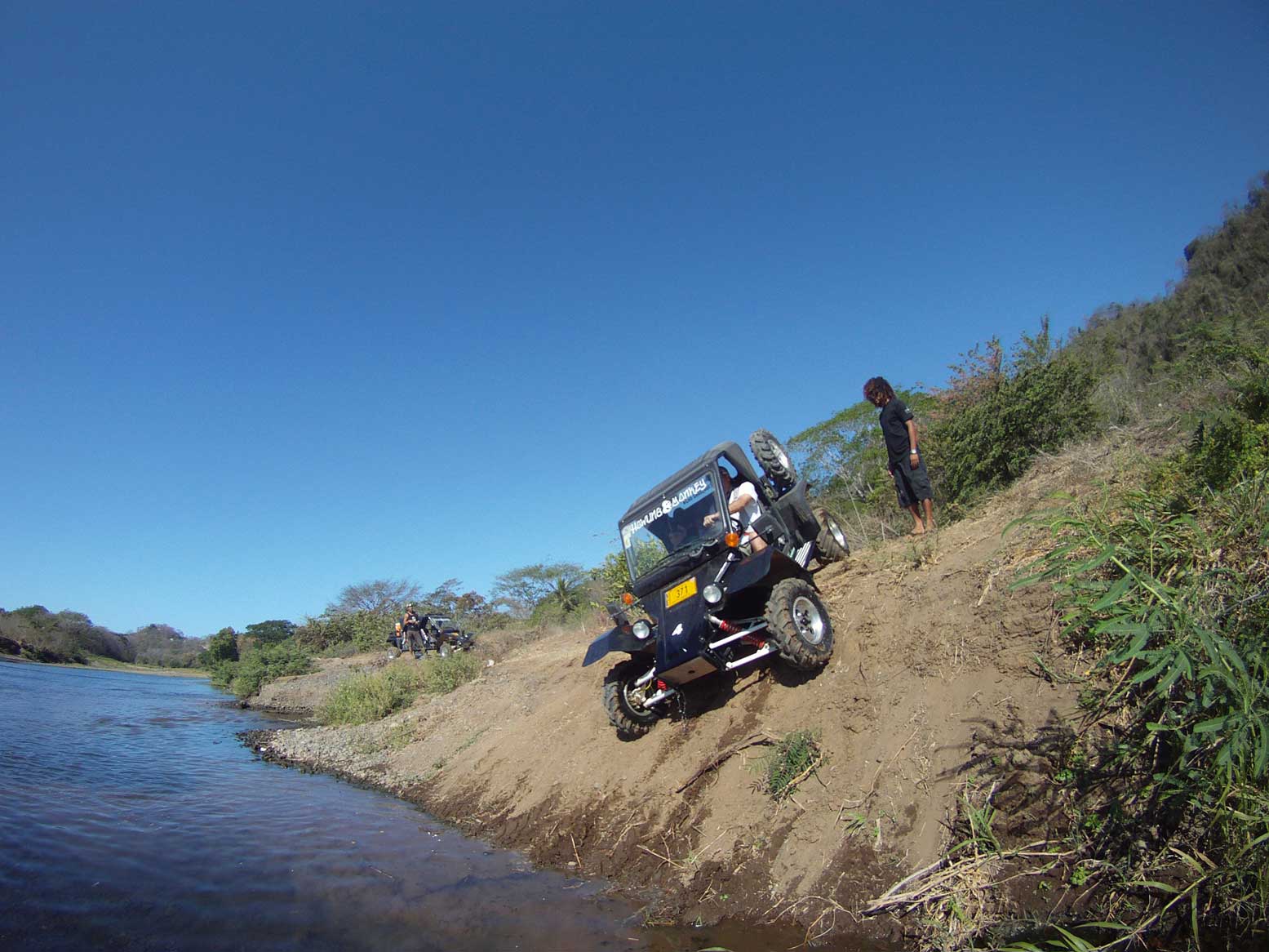
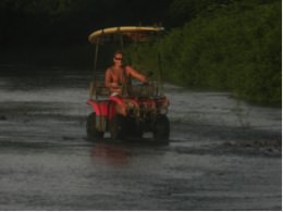
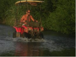
We live up on a mountain north of the Nosara River. In dry season, crossing the river saves fifteen  minutes from going the ‘long way’. Once the rains start the river fills, but this year there has been a tremendous build-up of small round river rocks that have formed a natural corridor across the river. I’ve made successful crossings up until the other day. As I neared the far side I wasn’t  paying attention and nudged closer to the bank than I should have. Suddenly the left side of my quad sunk down and threw me off into the water. As I surfaced I saw the quad  still there idling away, so I got up and little by little pushed it to safety. (Remember, dark water indicates deep, lighter colors means shallower water).  All I lost was my cheap cell phone, it could have been much worse. Gracias a Dios.

peter-atv-1
peter-atv-2

  Smooth Sailing.                                                                                                                                                                              Avoid the bank!
dirtroads
“DIRT ROADS BRING GOOD PEOPLE, PAVED ROADS BRING ALL KINDS OF PEOPLE”